See itineraries in GOOGLE MAPS
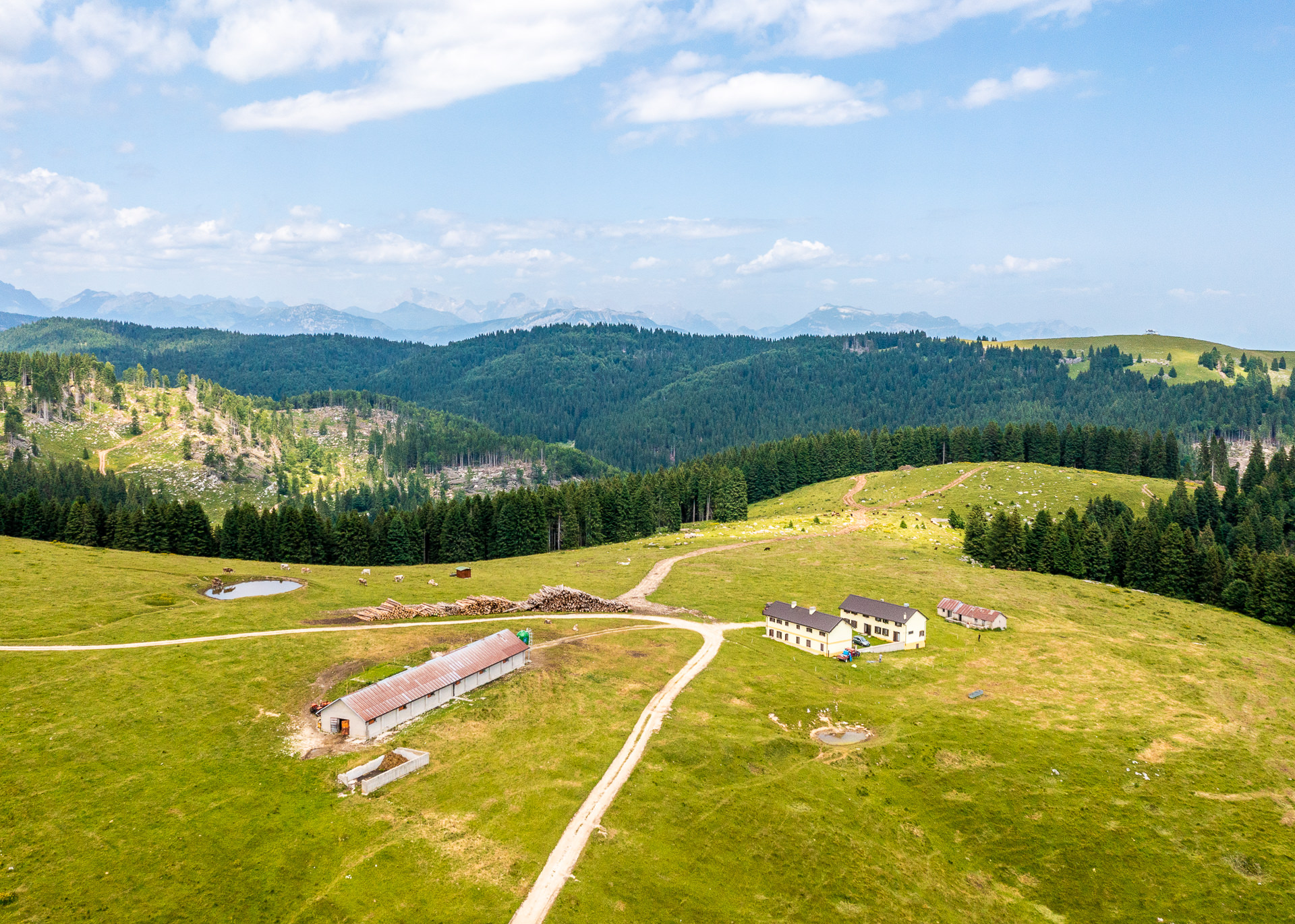
Plateau area: Longara – Campomulo
Group of itineraries: E
See itineraries in GOOGLE MAPS
MAPS with all itineraries
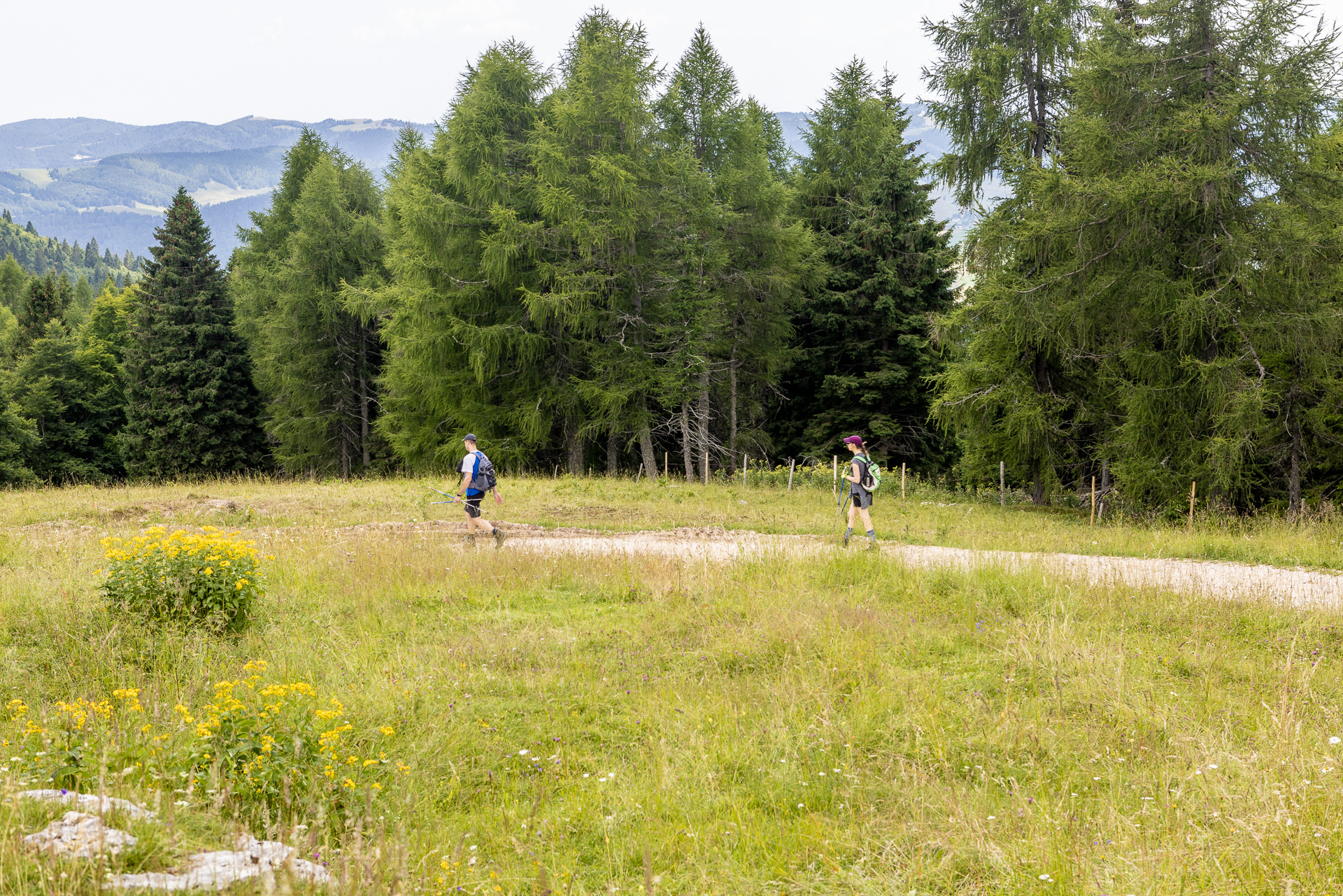
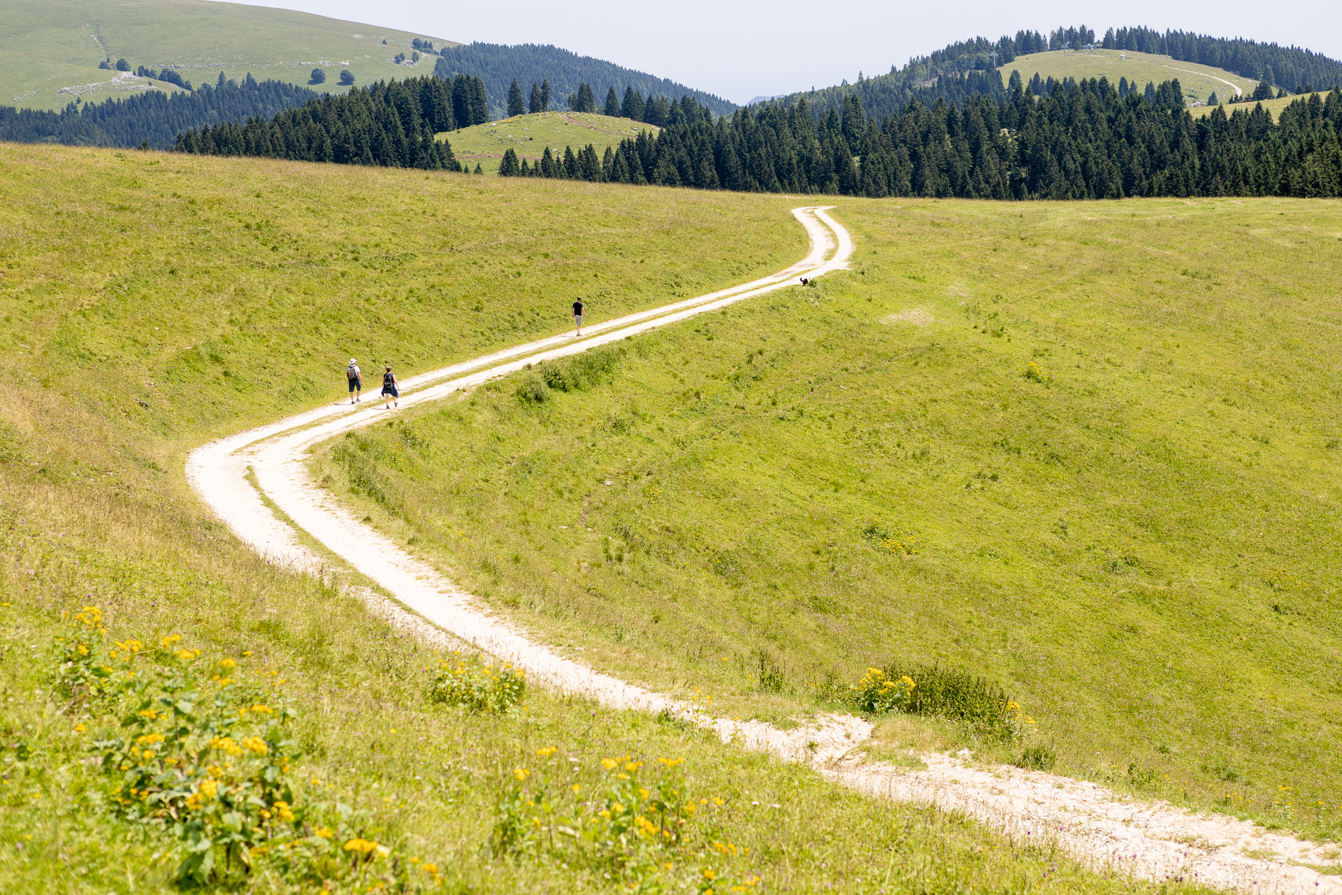
ITINERARY E1
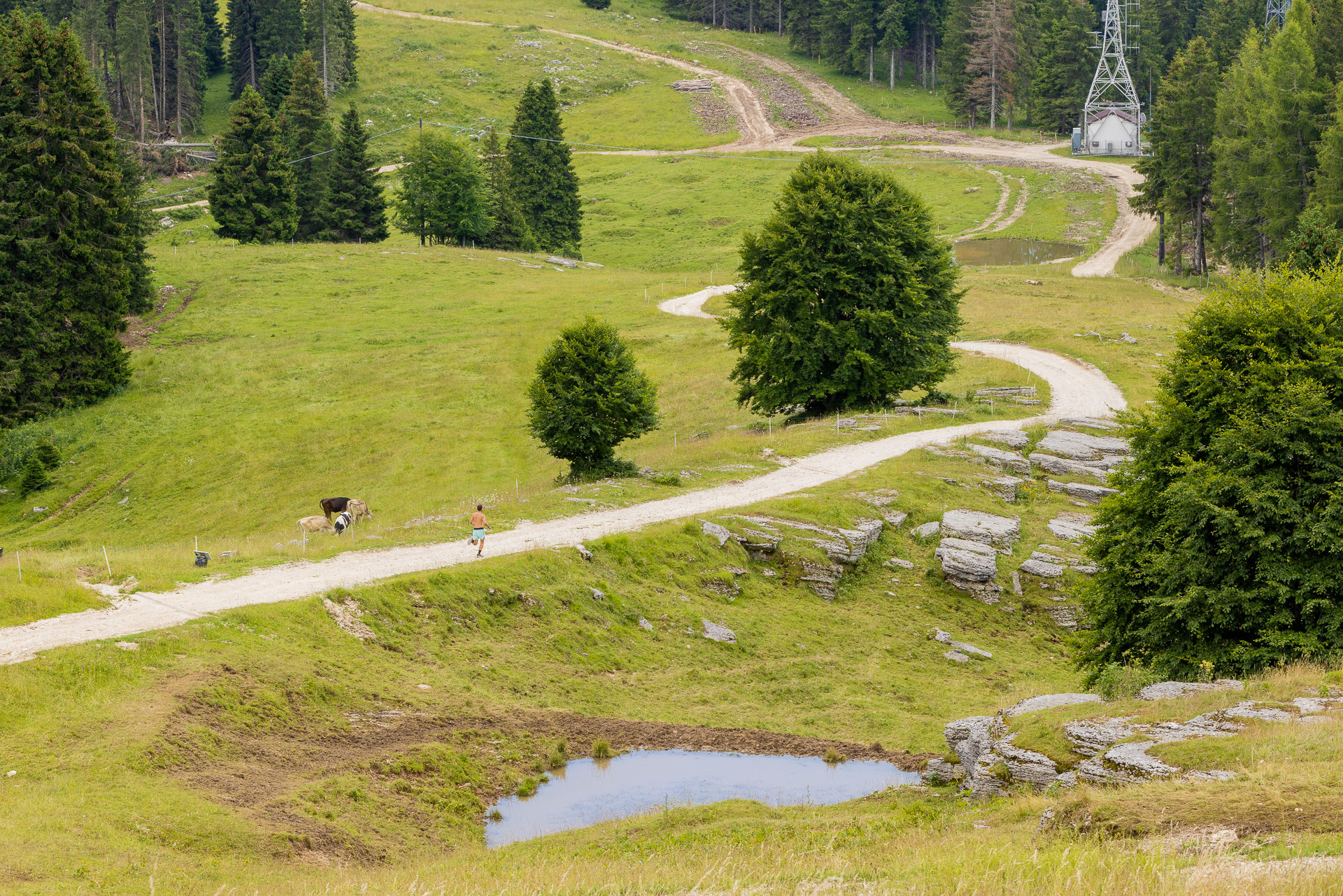
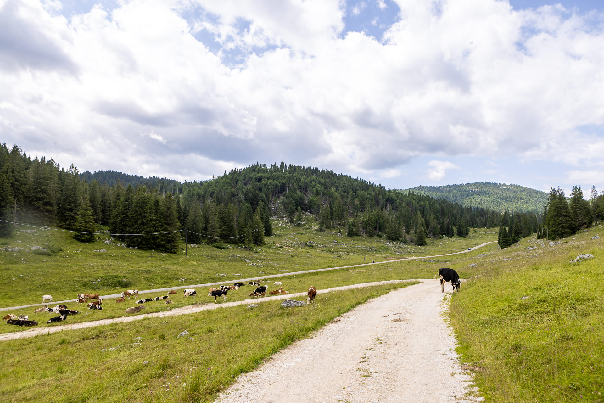
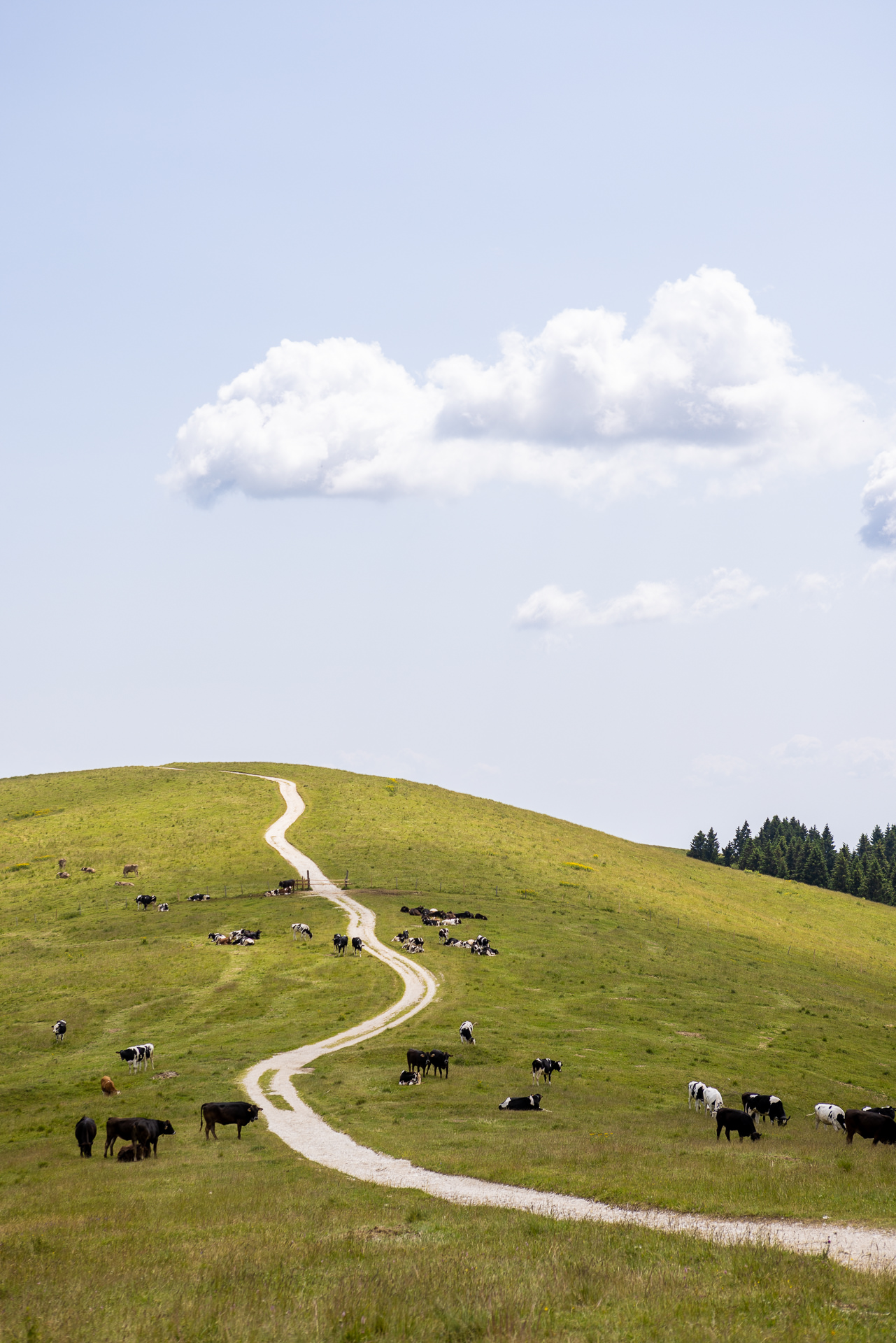
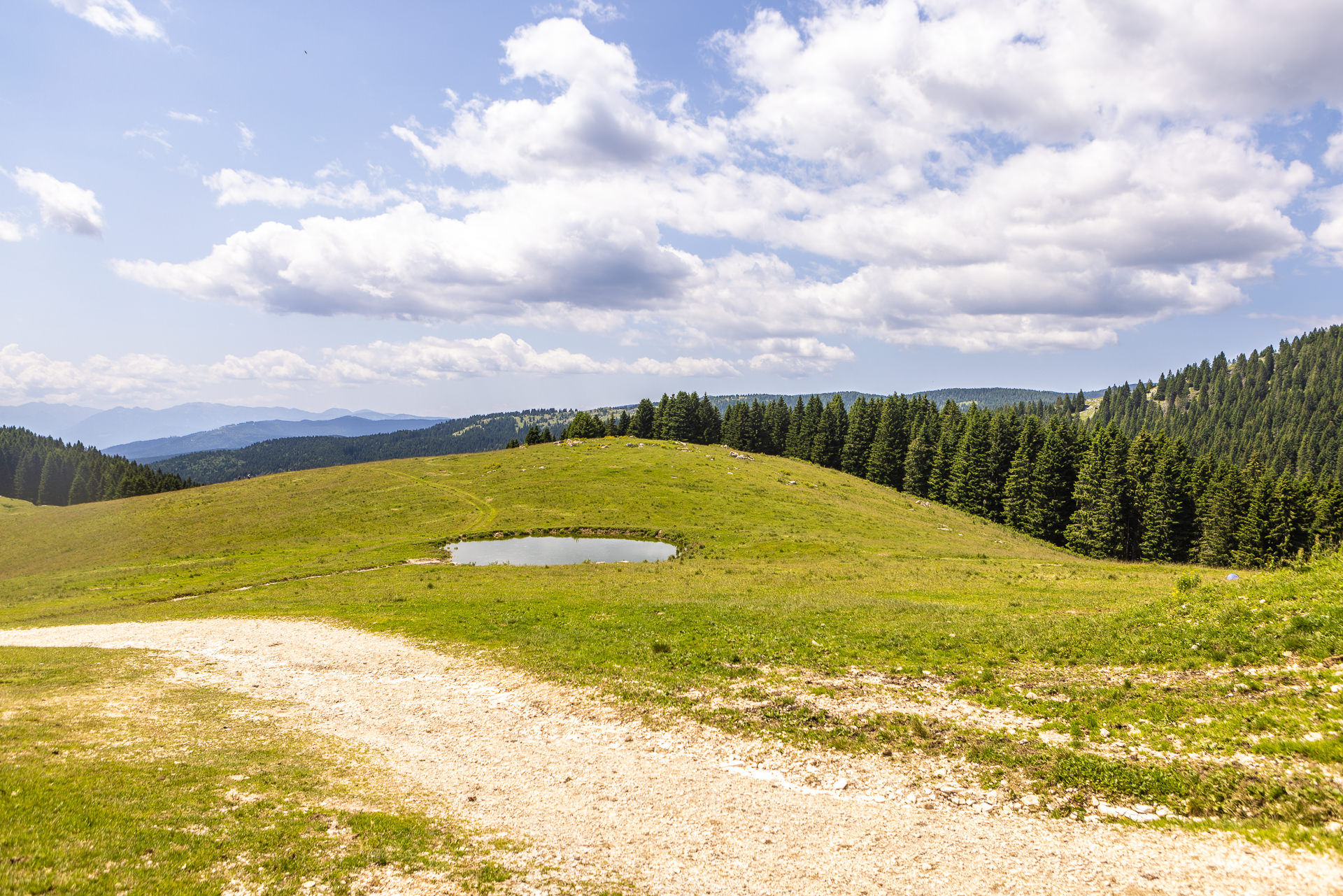
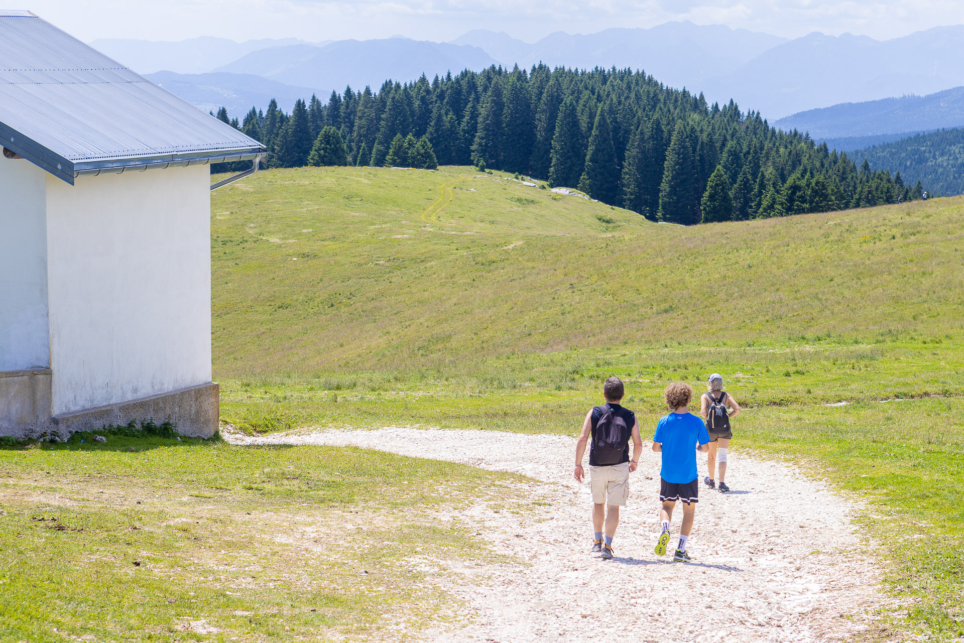
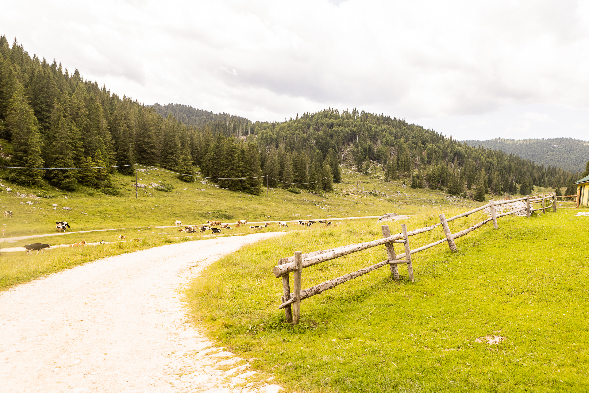
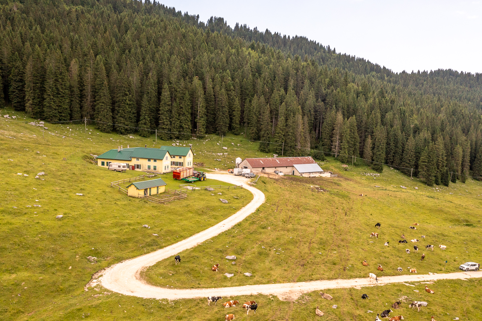
Longara and Campomulo
Length: 9,56 km
Difference in elevation: 250 m
Difficulty: Intermediate
Suitable for beginners/families
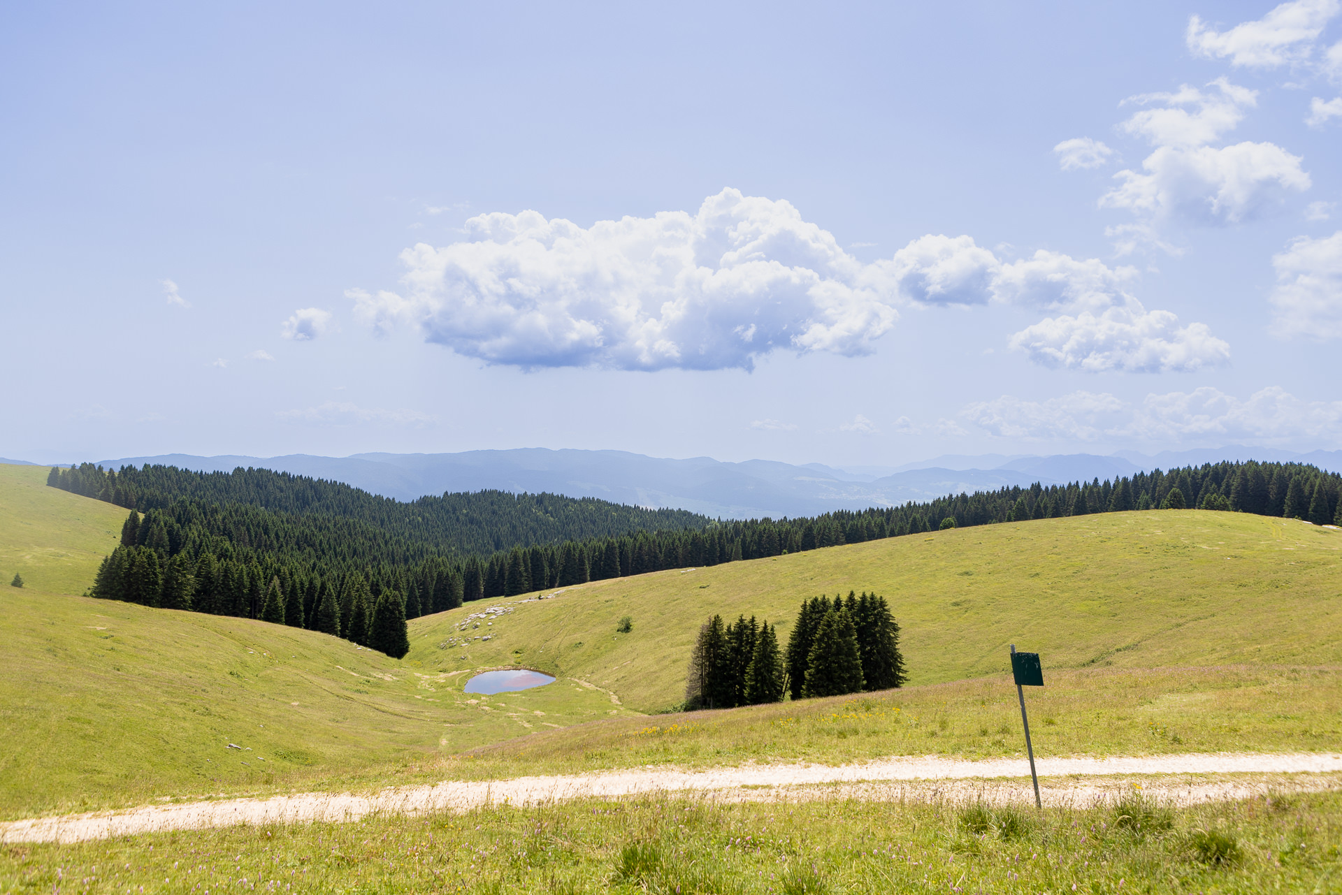
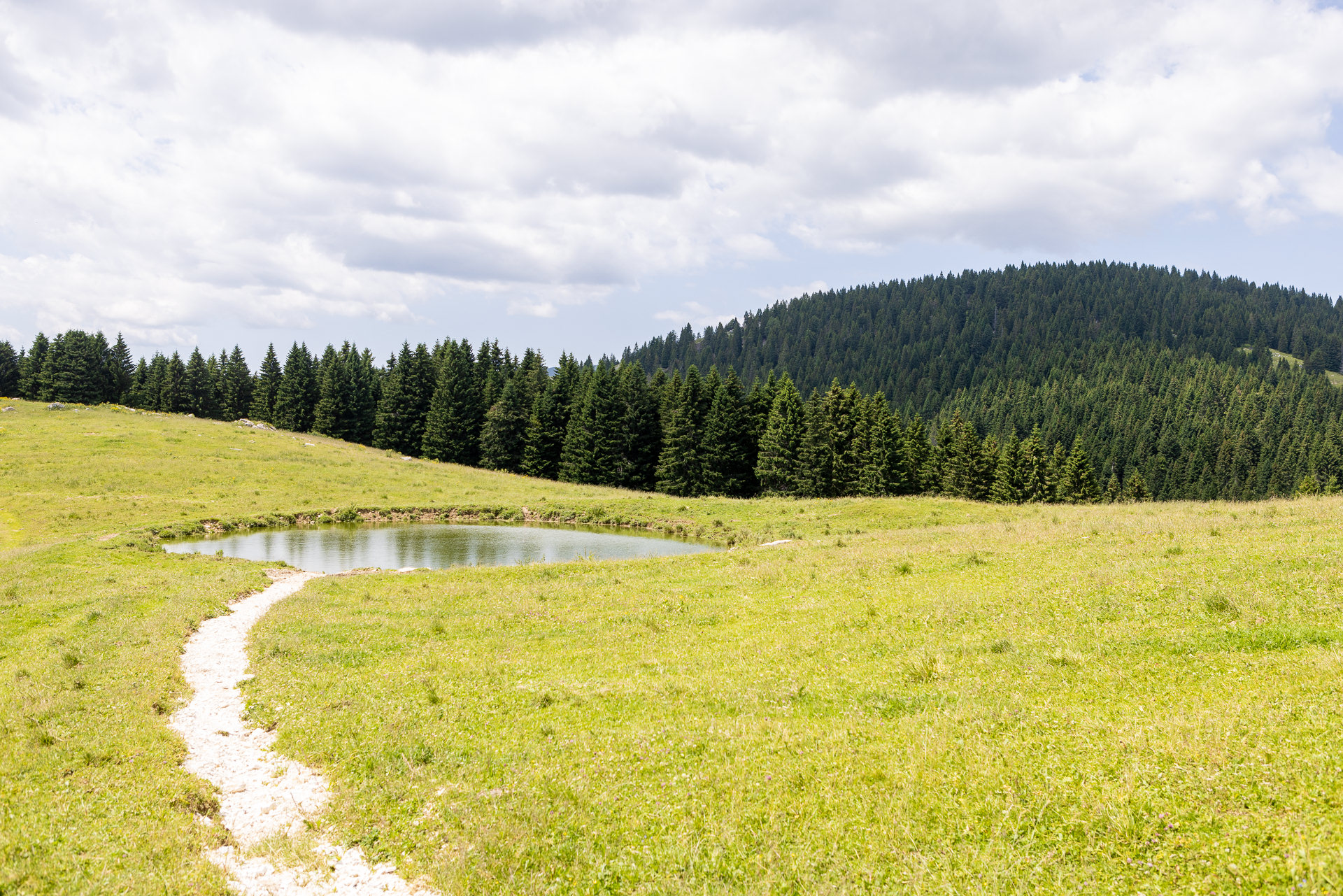
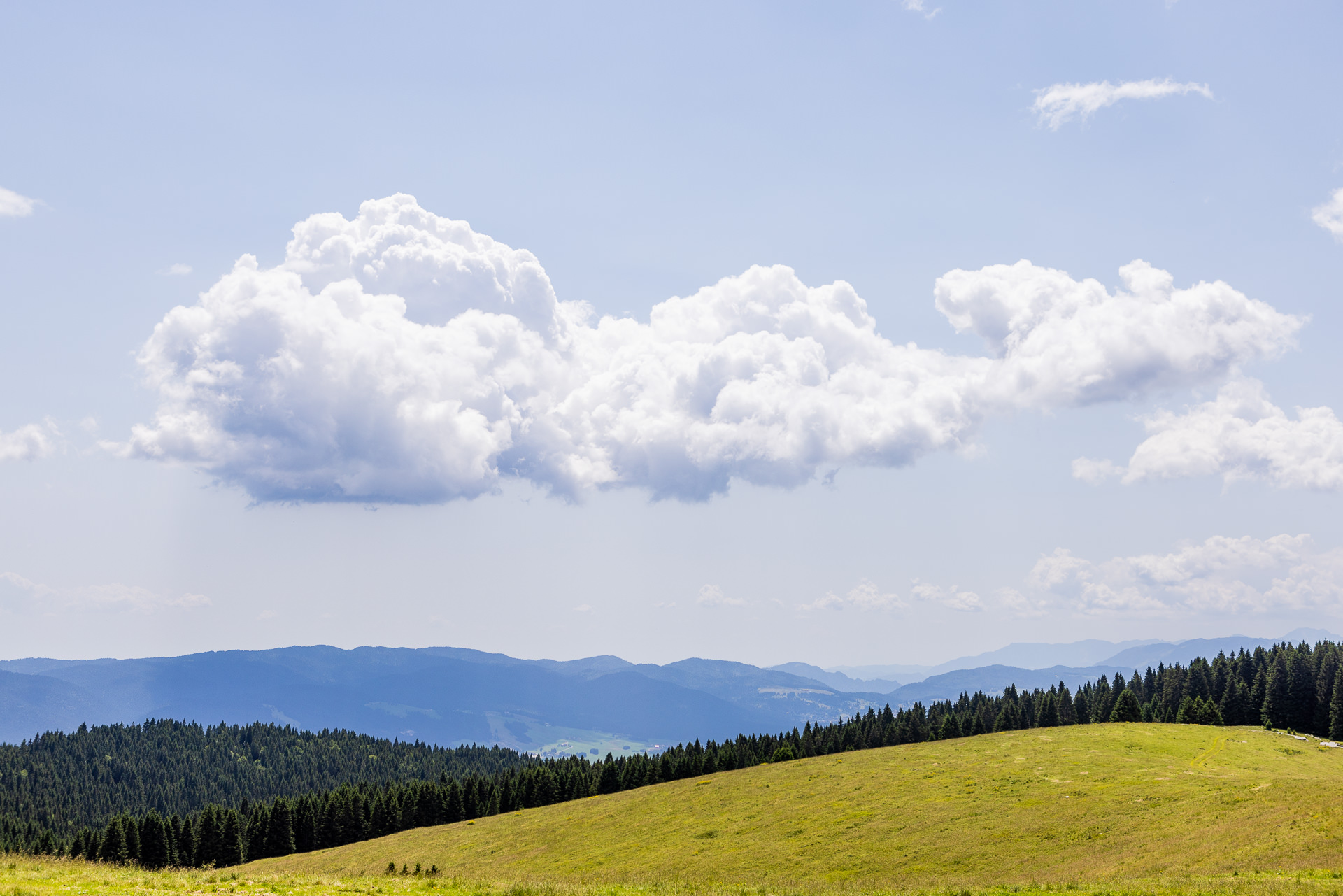
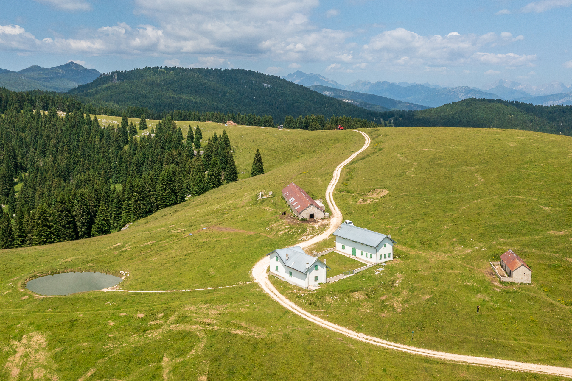
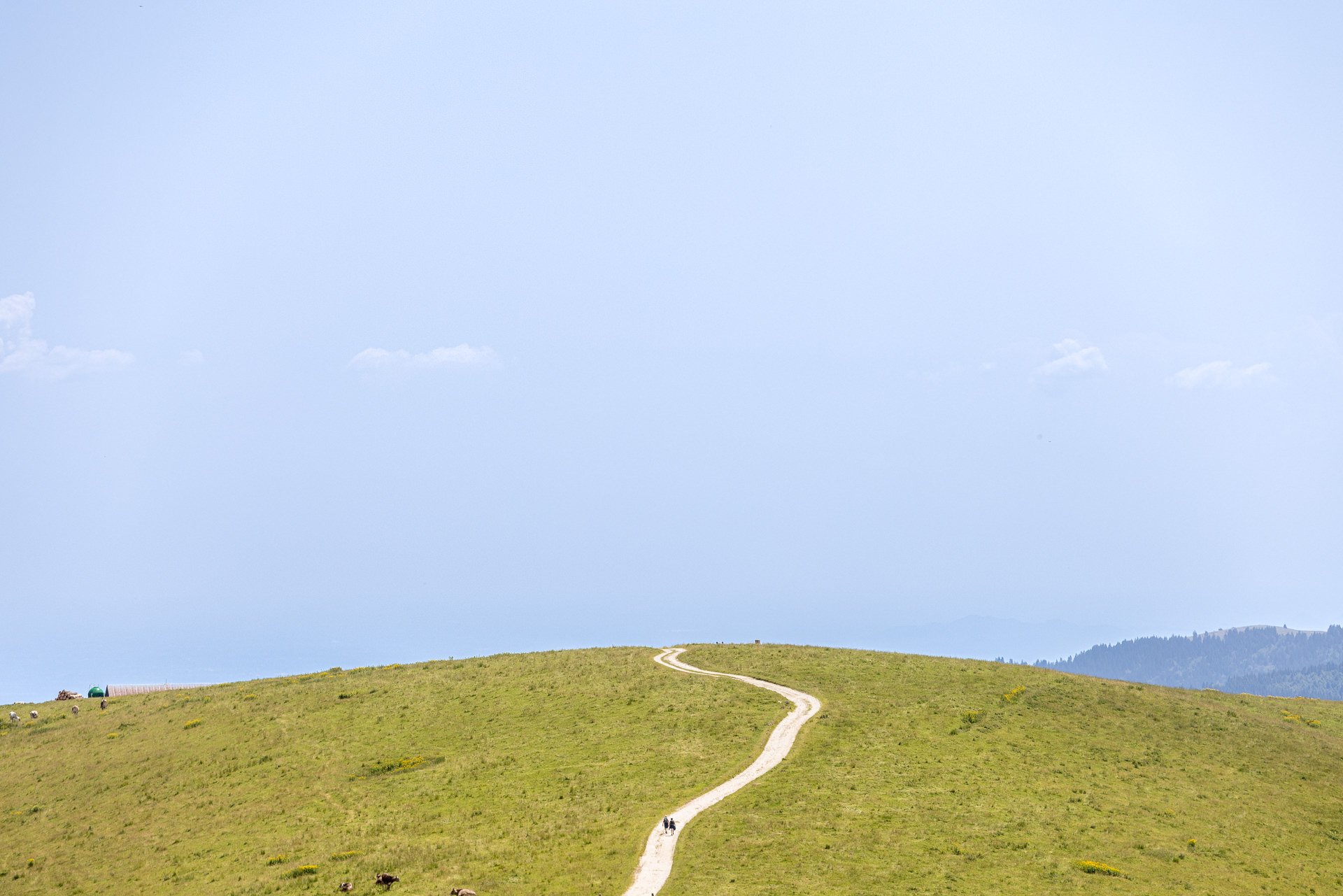
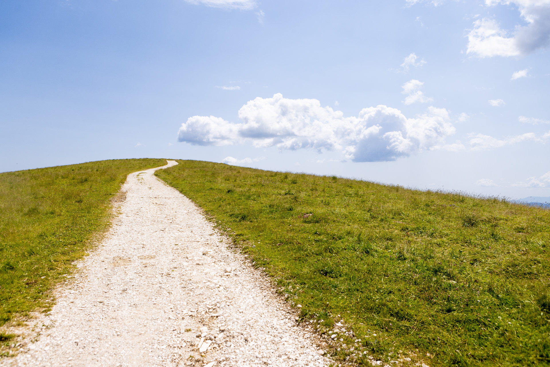
Itinerary suitable for all that allows you to enjoy the scenic view along the entire crest of Monte Baldo, towards the central basin of the Plateau and the surrounding hills. Along the path, various signs of the Great War can be found, including the remains of trenches in the Monte Ongara and Monte Baldo pastures, as well as emplacements and observation points near Monte Cimon…
For information, GPS routes and malgas along the path:
For information, GPS routes and malgas along the path:
Tourist spots in the surrounding areas
Environmental and landscaping
- Scenic views of the Gallio and Foza Melette and the central basin of the Plateau
- Scenic point from Osservatorio Cimon (Passo della Sedia) with explanatory notice boards on visible scenery and traces of the First World War
Buildings, Monuments, and Museums
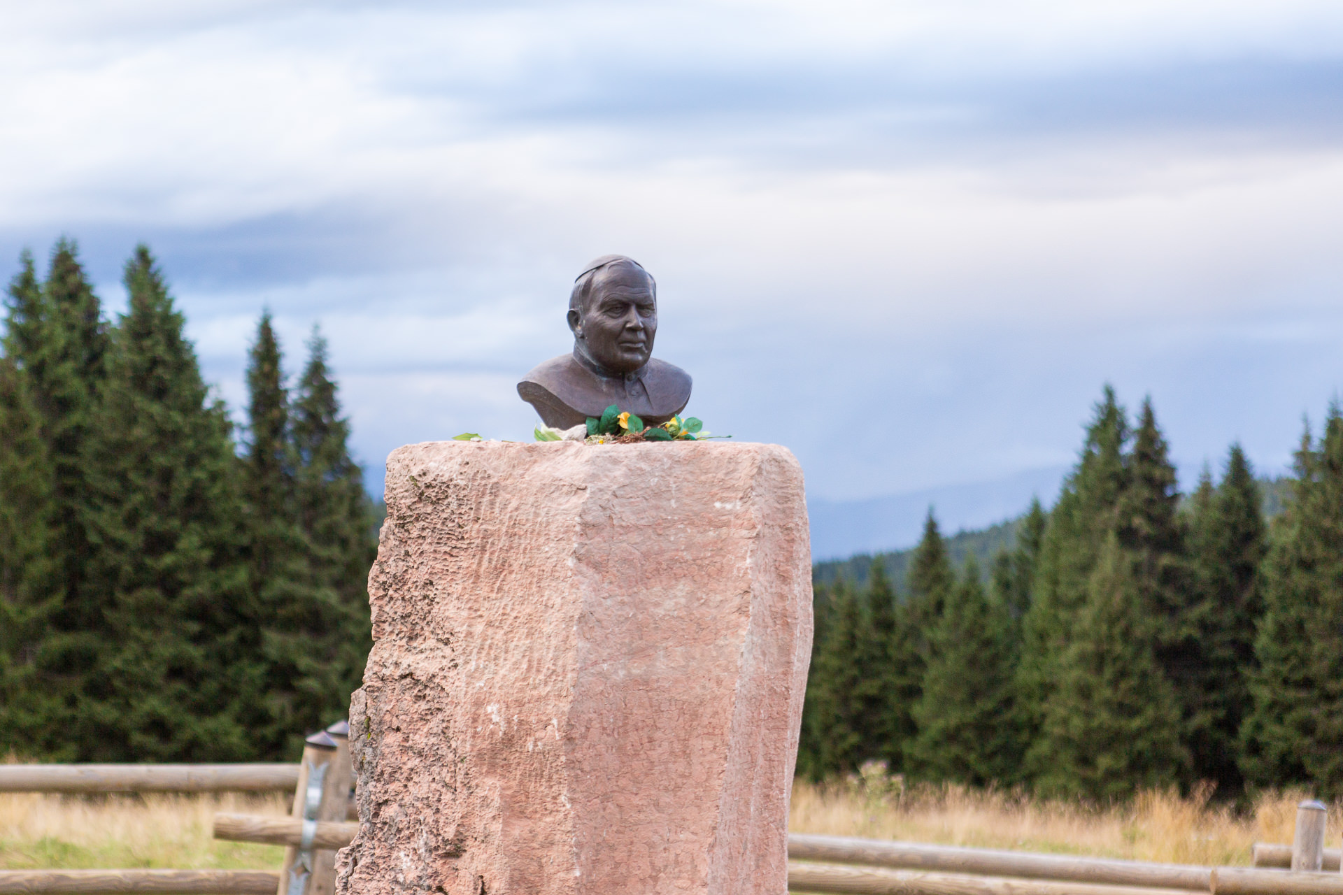
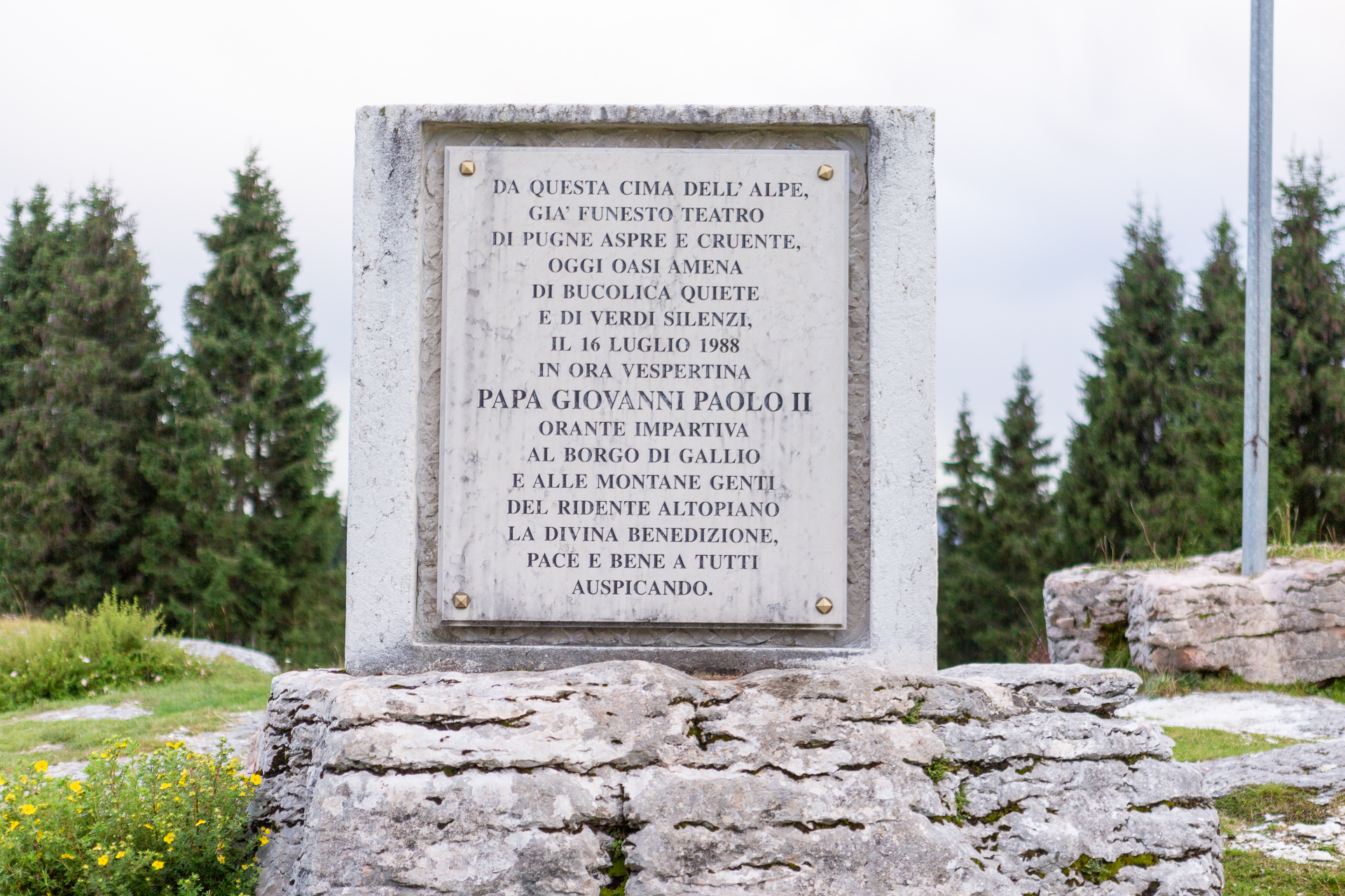
- ALTAR Pope John Paul II who, in July 1988, stopped to bless Gallio and Asiago (near the crossroads for Passo della Sedia).
- Church of the fallen (Gallio)
Other itineraries/sites nearby
- Sentiero del Silenzio (Trail of Silence), Porta della Memoria (Door of Memory) (departure from Campomuletto)
- CAI Gallio/Fiara Trail (from the center of Gallio)
Winter sports nearby
- Ski Area “LeMelette”
- Campomulo Cross-Country Center, one of the most famous on a European level
- Busafonda ice skating rink